Corby Road, Burton-le-Coggles
Introduction
The photograph on this page of Corby Road, Burton-le-Coggles by Kate Jewell as part of the Geograph project.
The Geograph project started in 2005 with the aim of publishing, organising and preserving representative images for every square kilometre of Great Britain, Ireland and the Isle of Man.

There are currently over 7.5m images from over 14,400 individuals and you can help contribute to the project by visiting https://www.geograph.org.uk
Corby Road, Burton-le-Coggles
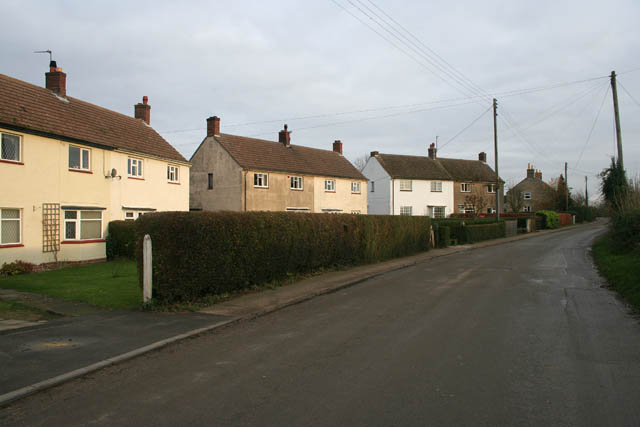
Image: © Kate Jewell Taken: 5 Dec 2007
The village of Burton-le-Coggles, originally “Byrton-en-les-Coggles” is named for the path of cobbles (or coggles) which ran through the area. There are 48 houses in the Parish and the population is just over 100. These houses are on the street that leads out of the village towards the B1176 and Corby Glen.
Images are licensed for reuse under creativecommons.org/licenses/by-sa/2.0
Image Location
Latitude
52.818205
Longitude
-0.545185