Farm buildings beside B4000
Introduction
The photograph on this page of Farm buildings beside B4000 by Vieve Forward as part of the Geograph project.
The Geograph project started in 2005 with the aim of publishing, organising and preserving representative images for every square kilometre of Great Britain, Ireland and the Isle of Man.

There are currently over 7.5m images from over 14,400 individuals and you can help contribute to the project by visiting https://www.geograph.org.uk
Farm buildings beside B4000
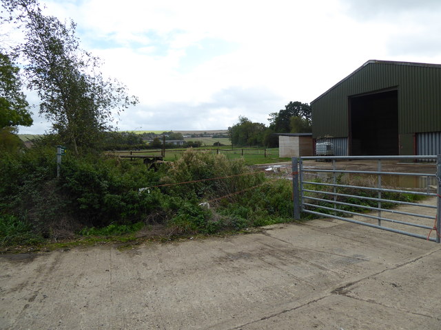
Image: © Vieve Forward Taken: 8 Oct 2019
Barn, stables and paddocks north of Ashbury. The footpath entrance is heavily overgrown, and access to the footpath was under the orange baler twine and around the side of the locked metal gate.
Images are licensed for reuse under creativecommons.org/licenses/by-sa/2.0
Image Location
Latitude
51.570944
Longitude
-1.632311