Fordh an Kay 2
Introduction
The photograph on this page of Fordh an Kay 2 by Jonathan Wilkins as part of the Geograph project.
The Geograph project started in 2005 with the aim of publishing, organising and preserving representative images for every square kilometre of Great Britain, Ireland and the Isle of Man.

There are currently over 7.5m images from over 14,400 individuals and you can help contribute to the project by visiting https://www.geograph.org.uk
Fordh an Kay 2
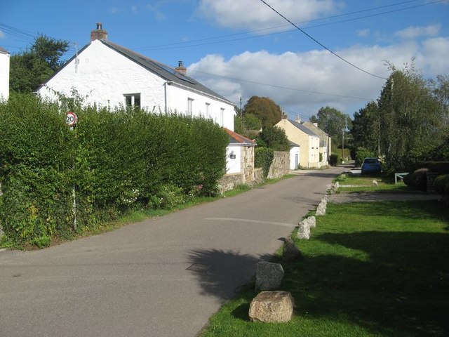
Image: © Jonathan Wilkins Taken: 17 Sep 2019
Quay Road, Devoran is the original route of the Chacewater and Redruth Railway do the Devoran wharves. It was later by-passed by a line, behind these houses, which ran to Point Quay. I was taken by the way that this lawn is protected by granite sleeper blocks from the old railway. They are distinctive by virtue of their twin peg holes for spiking down the chairs which held the rails. See also Image
Images are licensed for reuse under creativecommons.org/licenses/by-sa/2.0
Image Location
Latitude
50.209864
Longitude
-5.090605