Shrigley Road near Higher Poynton in Cheshire
Introduction
The photograph on this page of Shrigley Road near Higher Poynton in Cheshire by Roger Kidd as part of the Geograph project.
The Geograph project started in 2005 with the aim of publishing, organising and preserving representative images for every square kilometre of Great Britain, Ireland and the Isle of Man.

There are currently over 7.5m images from over 14,400 individuals and you can help contribute to the project by visiting https://www.geograph.org.uk
Shrigley Road near Higher Poynton in Cheshire
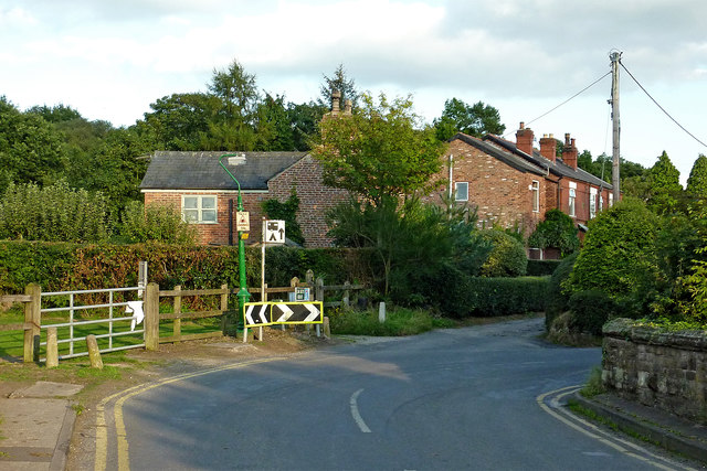
Image: © Roger Kidd Taken: 7 Sep 2014
This is Shrigley Road, looking east-south-east from the bridge across he Middlewood Way (dismantled railway). The housing is in Elm Beds Road.
Images are licensed for reuse under creativecommons.org/licenses/by-sa/2.0
Image Location
Latitude
53.343686
Longitude
-2.085724