Queen Street, Lossiemouth
Introduction
The photograph on this page of Queen Street, Lossiemouth by Alan Murray-Rust as part of the Geograph project.
The Geograph project started in 2005 with the aim of publishing, organising and preserving representative images for every square kilometre of Great Britain, Ireland and the Isle of Man.

There are currently over 7.5m images from over 14,400 individuals and you can help contribute to the project by visiting https://www.geograph.org.uk
Queen Street, Lossiemouth
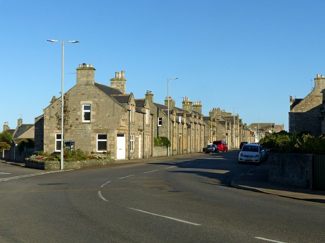
Image: © Alan Murray-Rust Taken: 21 Sep 2019
The main road (B9040) through the grid-pattern part of Lossiemouth, developed as Branderburgh during the latter part of the 19th century.
Images are licensed for reuse under creativecommons.org/licenses/by-sa/2.0
Image Location
Latitude
57.723003
Longitude
-3.289344