Brook at East Wall
Introduction
The photograph on this page of Brook at East Wall by Jonathan Billinger as part of the Geograph project.
The Geograph project started in 2005 with the aim of publishing, organising and preserving representative images for every square kilometre of Great Britain, Ireland and the Isle of Man.

There are currently over 7.5m images from over 14,400 individuals and you can help contribute to the project by visiting https://www.geograph.org.uk
Brook at East Wall
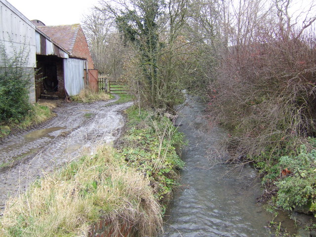
Image: © Jonathan Billinger Taken: 6 Dec 2007
The hamlet of East Wall consists of three farms clustered around this unnamed brook.
Images are licensed for reuse under creativecommons.org/licenses/by-sa/2.0
Image Location


Leaflet Map data © OpenStreetMap
Latitude
52.538005
Longitude
-2.700277