Cattle in field at bottom of Hassendean Bank
Introduction
The photograph on this page of Cattle in field at bottom of Hassendean Bank by Martin Dawes as part of the Geograph project.
The Geograph project started in 2005 with the aim of publishing, organising and preserving representative images for every square kilometre of Great Britain, Ireland and the Isle of Man.

There are currently over 7.5m images from over 14,400 individuals and you can help contribute to the project by visiting https://www.geograph.org.uk
Cattle in field at bottom of Hassendean Bank
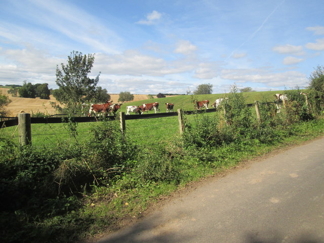
Image: © Martin Dawes Taken: 8 Sep 2019
The B A Way comes out onto this minor road and follows it and the River Teviot to Knowetown Cottages before going back onto a riverside path into Hawick
Images are licensed for reuse under creativecommons.org/licenses/by-sa/2.0
Image Location
Latitude
55.458781
Longitude
-2.702241