Westleigh House, Newport
Introduction
The photograph on this page of Westleigh House, Newport by Richard Law as part of the Geograph project.
The Geograph project started in 2005 with the aim of publishing, organising and preserving representative images for every square kilometre of Great Britain, Ireland and the Isle of Man.

There are currently over 7.5m images from over 14,400 individuals and you can help contribute to the project by visiting https://www.geograph.org.uk
Westleigh House, Newport
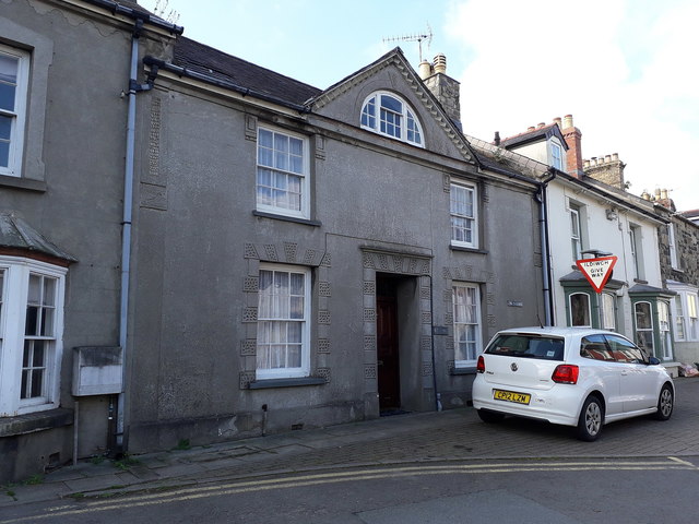
Image: © Richard Law Taken: 17 Sep 2019
Fairly unremarkable-looking in itself, but the later stuccoed frontage hides an early 19th century house which was Grade II listed https://britishlistedbuildings.co.uk/300013082-westleigh-newport#.XZjPQUZKjIU in 1992. The central 'lunette' gable, in this case with its semi-circular window, appears on a number of local properties in the Cardigan & Fishguard area, and suggests they may be the work of a single builder.
Images are licensed for reuse under creativecommons.org/licenses/by-sa/2.0
Image Location
Latitude
52.015595
Longitude
-4.835534