Entrance to Roseberry Grange Golf Course
Introduction
The photograph on this page of Entrance to Roseberry Grange Golf Course by Robert Graham as part of the Geograph project.
The Geograph project started in 2005 with the aim of publishing, organising and preserving representative images for every square kilometre of Great Britain, Ireland and the Isle of Man.

There are currently over 7.5m images from over 14,400 individuals and you can help contribute to the project by visiting https://www.geograph.org.uk
Entrance to Roseberry Grange Golf Course
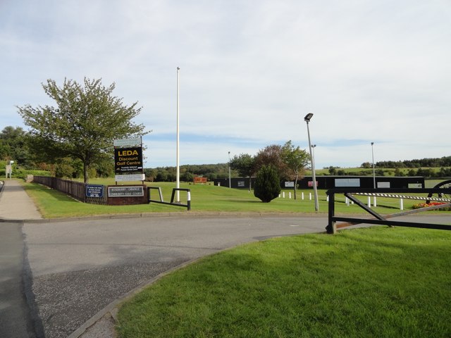
Image: © Robert Graham Taken: 16 Sep 2019
This community golf course was created in 1987 on the site of the former Handenhold Pit, part of West Pelton Colliery.
Images are licensed for reuse under creativecommons.org/licenses/by-sa/2.0
Image Location
Latitude
54.867014
Longitude
-1.639897