Crossroads in West Pelton
Introduction
The photograph on this page of Crossroads in West Pelton by Robert Graham as part of the Geograph project.
The Geograph project started in 2005 with the aim of publishing, organising and preserving representative images for every square kilometre of Great Britain, Ireland and the Isle of Man.

There are currently over 7.5m images from over 14,400 individuals and you can help contribute to the project by visiting https://www.geograph.org.uk
Crossroads in West Pelton
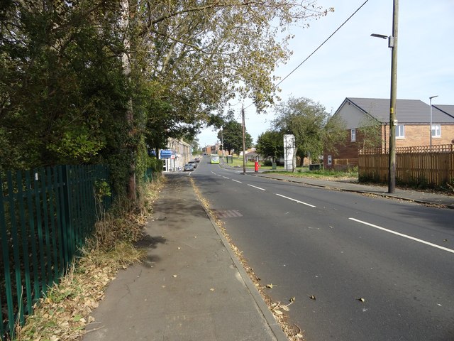
Image: © Robert Graham Taken: 16 Sep 2019
Viewed from the south, coming from Grange Villa. Both these villages are 19th century mining settlements, although the pits are all gone now.
Images are licensed for reuse under creativecommons.org/licenses/by-sa/2.0
Image Location
Latitude
54.870345
Longitude
-1.642049