Becontree from the air
Introduction
The photograph on this page of Becontree from the air by Thomas Nugent as part of the Geograph project.
The Geograph project started in 2005 with the aim of publishing, organising and preserving representative images for every square kilometre of Great Britain, Ireland and the Isle of Man.

There are currently over 7.5m images from over 14,400 individuals and you can help contribute to the project by visiting https://www.geograph.org.uk
Becontree from the air
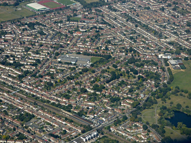
Image: © Thomas Nugent Taken: 26 Aug 2019
Becontree railway station is in the foreground, with Parsloes Park on the right. Roding Primart School https://www.rodingprimaryschool.co.uk/ is prominent in the centre.
Images are licensed for reuse under creativecommons.org/licenses/by-sa/2.0
Image Location
Latitude
51.54018
Longitude
0.127802