Strathavon Lodge and Mid Fodderletter
Introduction
The photograph on this page of Strathavon Lodge and Mid Fodderletter by Anne Burgess as part of the Geograph project.
The Geograph project started in 2005 with the aim of publishing, organising and preserving representative images for every square kilometre of Great Britain, Ireland and the Isle of Man.

There are currently over 7.5m images from over 14,400 individuals and you can help contribute to the project by visiting https://www.geograph.org.uk
Strathavon Lodge and Mid Fodderletter
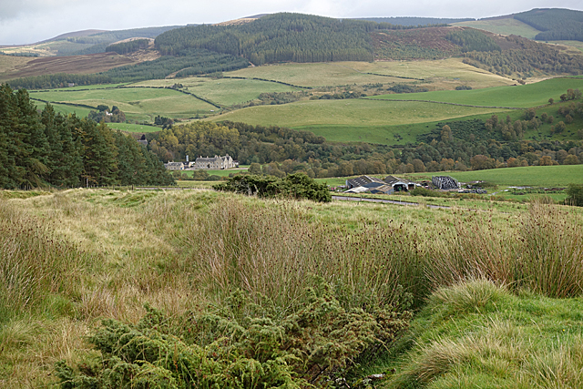
Image: © Anne Burgess Taken: 1 Oct 2019
The building on the left are Strathavon Lodge, and just right of centre is Mid Fodderletter. The wooded hill is Carn Mèilich.
Images are licensed for reuse under creativecommons.org/licenses/by-sa/2.0
Image Location
Latitude
57.274302
Longitude
-3.42056