Bridge over the Stockerley Burn
Introduction
The photograph on this page of Bridge over the Stockerley Burn by Robert Graham as part of the Geograph project.
The Geograph project started in 2005 with the aim of publishing, organising and preserving representative images for every square kilometre of Great Britain, Ireland and the Isle of Man.

There are currently over 7.5m images from over 14,400 individuals and you can help contribute to the project by visiting https://www.geograph.org.uk
Bridge over the Stockerley Burn
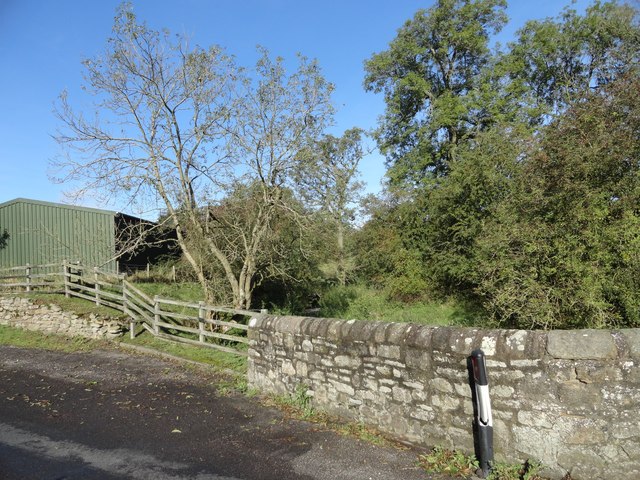
Image: © Robert Graham Taken: 30 Sep 2019
This is more of a culvert under the road than a bridge, although it has stone walls on each side.
Images are licensed for reuse under creativecommons.org/licenses/by-sa/2.0
Image Location
Latitude
54.84563
Longitude
-1.797059