The Lough Road junction on the B30 (Silverbridge Road)
Introduction
The photograph on this page of The Lough Road junction on the B30 (Silverbridge Road) by Eric Jones as part of the Geograph project.
The Geograph project started in 2005 with the aim of publishing, organising and preserving representative images for every square kilometre of Great Britain, Ireland and the Isle of Man.

There are currently over 7.5m images from over 14,400 individuals and you can help contribute to the project by visiting https://www.geograph.org.uk
The Lough Road junction on the B30 (Silverbridge Road)
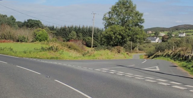
Image: © Eric Jones Taken: 18 Sep 2019
The area around Lough Road is heavily glaciated with ice carved lakes and bare rock outcrops. There are considerable tracts of heathland and conifer forests.
Images are licensed for reuse under creativecommons.org/licenses/by-sa/2.0
Image Location
Latitude
54.111897
Longitude
-6.525358