Ranscombe House
Introduction
The photograph on this page of Ranscombe House by Stefan Czapski as part of the Geograph project.
The Geograph project started in 2005 with the aim of publishing, organising and preserving representative images for every square kilometre of Great Britain, Ireland and the Isle of Man.

There are currently over 7.5m images from over 14,400 individuals and you can help contribute to the project by visiting https://www.geograph.org.uk
Ranscombe House
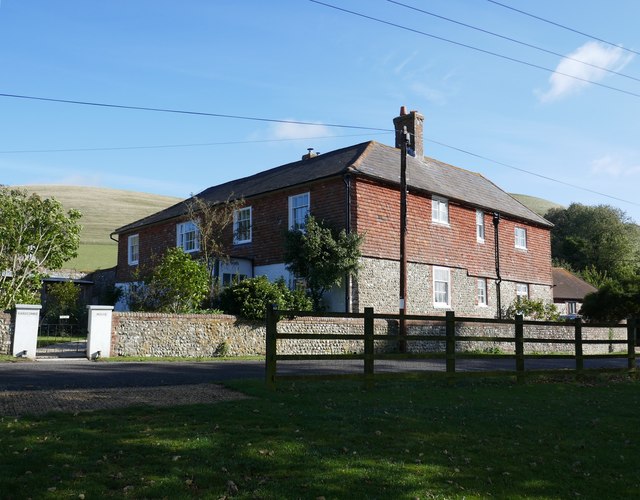
Image: © Stefan Czapski Taken: 28 Sep 2019
Close to the A27 on the southern flank of Mount Caburn. The site is shown on the OS as Ranscombe Farm, and this must have been the farmhouse. Most of the farmyard buildings now seem to have been demolished, and Ranscombe House advertises bed -and-breakfast accommodation.
Images are licensed for reuse under creativecommons.org/licenses/by-sa/2.0
Image Location
Latitude
50.859004
Longitude
0.043782