Portgate Farm
Introduction
The photograph on this page of Portgate Farm by Mike Quinn as part of the Geograph project.
The Geograph project started in 2005 with the aim of publishing, organising and preserving representative images for every square kilometre of Great Britain, Ireland and the Isle of Man.

There are currently over 7.5m images from over 14,400 individuals and you can help contribute to the project by visiting https://www.geograph.org.uk
Portgate Farm
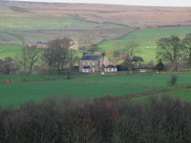
Image: © Mike Quinn Taken: 5 Dec 2007
The building behind and to the left of Portgate, half hidden by the trees, is Moor House - see Image Photo taken from the minor road near Shilburn in Image
Images are licensed for reuse under creativecommons.org/licenses/by-sa/2.0
Image Location


Leaflet Map data © OpenStreetMap
Latitude
54.898855
Longitude
-2.238231