Cobblestone Path, Bladon
Introduction
The photograph on this page of Cobblestone Path, Bladon by Des Blenkinsopp as part of the Geograph project.
The Geograph project started in 2005 with the aim of publishing, organising and preserving representative images for every square kilometre of Great Britain, Ireland and the Isle of Man.

There are currently over 7.5m images from over 14,400 individuals and you can help contribute to the project by visiting https://www.geograph.org.uk
Cobblestone Path, Bladon
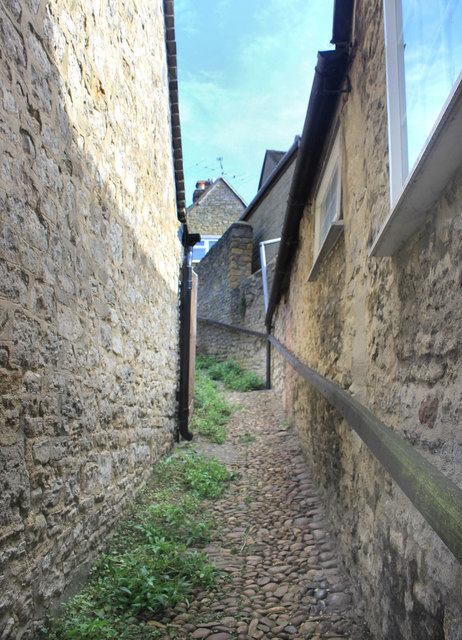
Image: © Des Blenkinsopp Taken: 28 Sep 2019
Bladon is built on the side of a slope down to the River Glyme. This steep narrow pathway is a short cut between Park Street and Church Street.
Images are licensed for reuse under creativecommons.org/licenses/by-sa/2.0
Image Location
Latitude
51.829305
Longitude
-1.351019