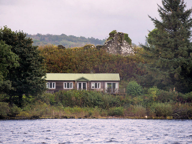
Inchmurrin Island, the Ruins of Lennox Castle
Introduction
The photograph on this page of Inchmurrin Island, the Ruins of Lennox Castle by David Dixon as part of the Geograph project.
The Geograph project started in 2005 with the aim of publishing, organising and preserving representative images for every square kilometre of Great Britain, Ireland and the Isle of Man.
There are currently over 7.5m images from over 14,400 individuals and you can help contribute to the project by visiting https://www.geograph.org.uk

Image: © David Dixon Taken: 26 Sep 2019
Inchmurrin (Scottish Gaelic: Innis Mhearain) is the largest inland island in Britain and the most southerly on Loch Lomond. It gets its name from the chapel to St Mirren that was once on the island. The ruins of the 14th century castle built by Duncan the Eighth Earl of Lennox are at the southwest tip of the island. The castle is recorded as having been completed by 1393 and the Earls of Lennox took up residence in the 14th century when they moved from their castle in Balloch during the plague.

