Holly Hedge Close
Introduction
The photograph on this page of Holly Hedge Close by Euchiasmus as part of the Geograph project.
The Geograph project started in 2005 with the aim of publishing, organising and preserving representative images for every square kilometre of Great Britain, Ireland and the Isle of Man.

There are currently over 7.5m images from over 14,400 individuals and you can help contribute to the project by visiting https://www.geograph.org.uk
Holly Hedge Close
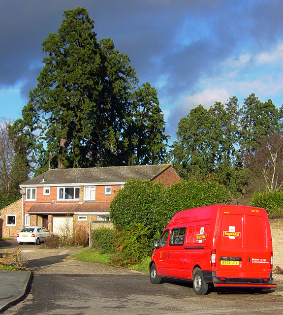
Image: © Euchiasmus Taken: 3 Dec 2007
Holly Hedge Close is a cul-de-sac off Holly Hedge Road in this residential area to the east of Frimley. The row of large mature trees in the distance runs along the boundary between this housing area and the busy A325 Portsmouth Road.
Images are licensed for reuse under creativecommons.org/licenses/by-sa/2.0
Image Location
Latitude
51.321659
Longitude
-0.735818