Secluded lane
Introduction
The photograph on this page of Secluded lane by Jonathan Wilkins as part of the Geograph project.
The Geograph project started in 2005 with the aim of publishing, organising and preserving representative images for every square kilometre of Great Britain, Ireland and the Isle of Man.

There are currently over 7.5m images from over 14,400 individuals and you can help contribute to the project by visiting https://www.geograph.org.uk
Secluded lane
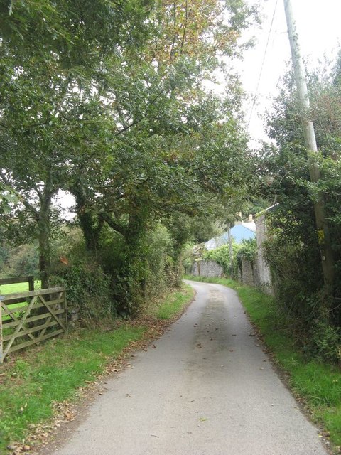
Image: © Jonathan Wilkins Taken: 15 Sep 2019
Between Fourburrow Cottage and Four Barrow House - a secluded and well-defended locality within the compass of the Scorrier House enclave.
Images are licensed for reuse under creativecommons.org/licenses/by-sa/2.0
Image Location


Leaflet Map data © OpenStreetMap
Latitude
50.246435
Longitude
-5.188648