House on Lowery Lane, Craghead
Introduction
The photograph on this page of House on Lowery Lane, Craghead by Robert Graham as part of the Geograph project.
The Geograph project started in 2005 with the aim of publishing, organising and preserving representative images for every square kilometre of Great Britain, Ireland and the Isle of Man.

There are currently over 7.5m images from over 14,400 individuals and you can help contribute to the project by visiting https://www.geograph.org.uk
House on Lowery Lane, Craghead
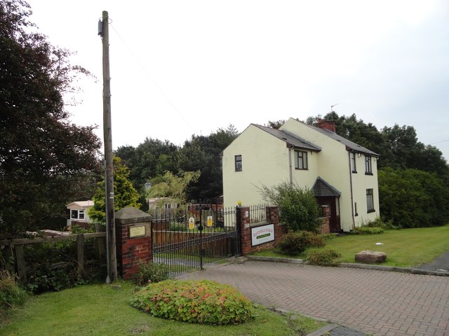
Image: © Robert Graham Taken: 9 Sep 2019
This lane runs into Craghead village from the south. The dwelling is called Easfield House, which seems to be taken from an old terrace which used to stand further down the lane.
Images are licensed for reuse under creativecommons.org/licenses/by-sa/2.0
Image Location
Latitude
54.850102
Longitude
-1.665434