Footpath to Toney's Farm
Introduction
The photograph on this page of Footpath to Toney's Farm by Trevor Rickard as part of the Geograph project.
The Geograph project started in 2005 with the aim of publishing, organising and preserving representative images for every square kilometre of Great Britain, Ireland and the Isle of Man.

There are currently over 7.5m images from over 14,400 individuals and you can help contribute to the project by visiting https://www.geograph.org.uk
Footpath to Toney's Farm
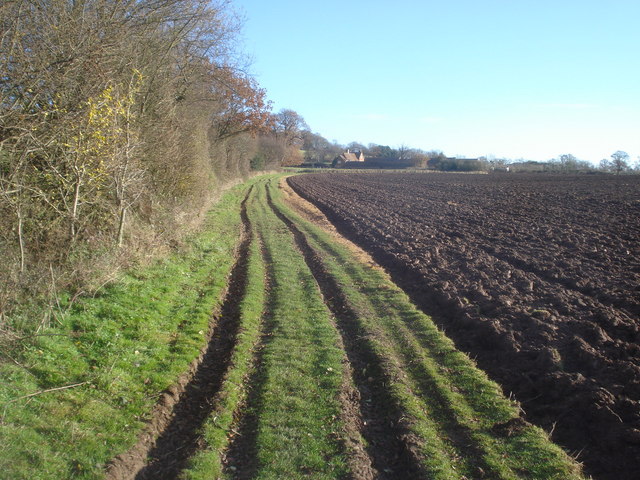
Image: © Trevor Rickard Taken: 3 Dec 2007
Just past the right-angles bend the path follows the north side of a ploughed field with the farmhouse ahead.
Images are licensed for reuse under creativecommons.org/licenses/by-sa/2.0
Image Location


Leaflet Map data © OpenStreetMap
Latitude
52.01031
Longitude
-2.375846