Former bridge hole near Marple, Stockport
Introduction
The photograph on this page of Former bridge hole near Marple, Stockport by Roger Kidd as part of the Geograph project.
The Geograph project started in 2005 with the aim of publishing, organising and preserving representative images for every square kilometre of Great Britain, Ireland and the Isle of Man.

There are currently over 7.5m images from over 14,400 individuals and you can help contribute to the project by visiting https://www.geograph.org.uk
Former bridge hole near Marple, Stockport
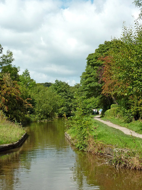
Image: © Roger Kidd Taken: 7 Sep 2014
Looking north-west towards Marple Junction, this "narrows" is the site of a demolished bridge, not included in the current numbering scheme. It is five hundred metres south-east of Brick Bridge, No 19.
Images are licensed for reuse under creativecommons.org/licenses/by-sa/2.0
Image Location
Latitude
53.386671
Longitude
-2.053335