Top Road, Upper Soudley
Introduction
The photograph on this page of Top Road, Upper Soudley by Des Blenkinsopp as part of the Geograph project.
The Geograph project started in 2005 with the aim of publishing, organising and preserving representative images for every square kilometre of Great Britain, Ireland and the Isle of Man.

There are currently over 7.5m images from over 14,400 individuals and you can help contribute to the project by visiting https://www.geograph.org.uk
Top Road, Upper Soudley
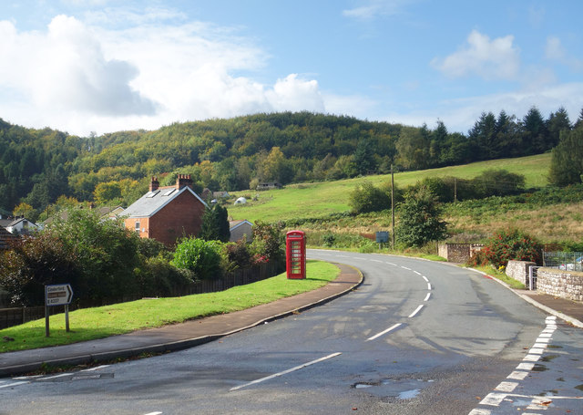
Image: © Des Blenkinsopp Taken: 24 Sep 2019
A bit higher up the hillside than Lower Road.
Images are licensed for reuse under creativecommons.org/licenses/by-sa/2.0
Image Location
Latitude
51.792184
Longitude
-2.498577