Looking along Lowery Lane
Introduction
The photograph on this page of Looking along Lowery Lane by Robert Graham as part of the Geograph project.
The Geograph project started in 2005 with the aim of publishing, organising and preserving representative images for every square kilometre of Great Britain, Ireland and the Isle of Man.

There are currently over 7.5m images from over 14,400 individuals and you can help contribute to the project by visiting https://www.geograph.org.uk
Looking along Lowery Lane
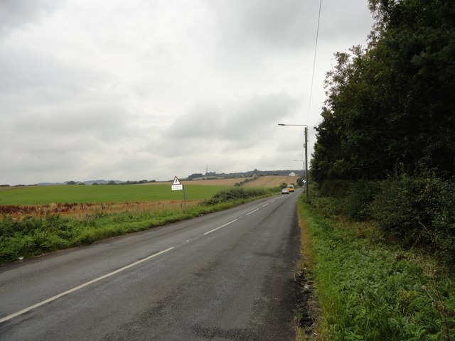
Image: © Robert Graham Taken: 9 Sep 2019
View west up the road towards Craghead, White House Farm can be seen at the top of the road.
Images are licensed for reuse under creativecommons.org/licenses/by-sa/2.0
Image Location


Leaflet Map data © OpenStreetMap
Latitude
54.846487
Longitude
-1.658145