The A78 Inverkip Road
Introduction
The photograph on this page of The A78 Inverkip Road by Thomas Nugent as part of the Geograph project.
The Geograph project started in 2005 with the aim of publishing, organising and preserving representative images for every square kilometre of Great Britain, Ireland and the Isle of Man.

There are currently over 7.5m images from over 14,400 individuals and you can help contribute to the project by visiting https://www.geograph.org.uk
The A78 Inverkip Road
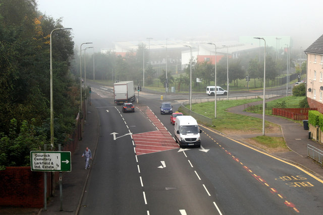
Image: © Thomas Nugent Taken: 20 Sep 2019
Looking towards Cumberland Road and Inverclyde Academy from Branchton footbridge. See also... 2008 Image 2007 Image
Images are licensed for reuse under creativecommons.org/licenses/by-sa/2.0
Image Location
Latitude
55.940457
Longitude
-4.80562