Former Free Kirk
Introduction
The photograph on this page of Former Free Kirk by Anne Burgess as part of the Geograph project.
The Geograph project started in 2005 with the aim of publishing, organising and preserving representative images for every square kilometre of Great Britain, Ireland and the Isle of Man.

There are currently over 7.5m images from over 14,400 individuals and you can help contribute to the project by visiting https://www.geograph.org.uk
Former Free Kirk
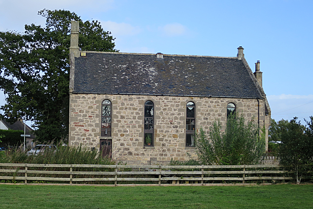
Image: © Anne Burgess Taken: 15 Sep 2019
This kirk was built in 1844 using stone from the old kirk of St Margaret in the kirkyard nearby. The architects were A and W Reid. It is now a house.
Images are licensed for reuse under creativecommons.org/licenses/by-sa/2.0
Image Location
Latitude
57.648663
Longitude
-3.193714