Shields Road, Pelaw, near Gateshead
Introduction
The photograph on this page of Shields Road, Pelaw, near Gateshead by Malc McDonald as part of the Geograph project.
The Geograph project started in 2005 with the aim of publishing, organising and preserving representative images for every square kilometre of Great Britain, Ireland and the Isle of Man.

There are currently over 7.5m images from over 14,400 individuals and you can help contribute to the project by visiting https://www.geograph.org.uk
Shields Road, Pelaw, near Gateshead
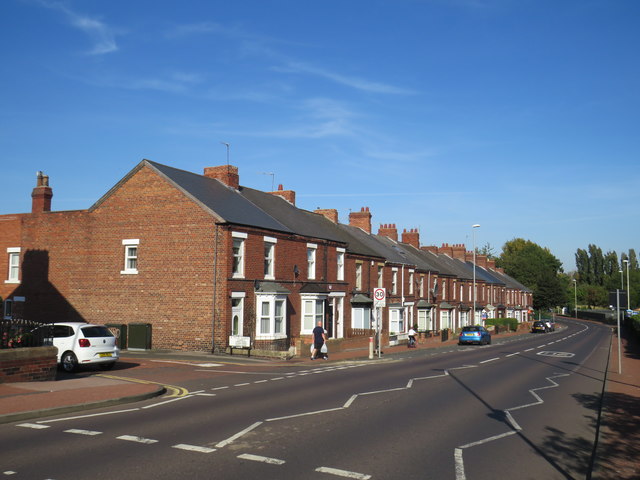
Image: © Malc McDonald Taken: 20 Sep 2019
Shields Road passing through Pelaw. This road forms part of the route of the A185.
Images are licensed for reuse under creativecommons.org/licenses/by-sa/2.0
Image Location
Latitude
54.954476
Longitude
-1.540588