Towards Railway Paddocks, Gileston
Introduction
The photograph on this page of Towards Railway Paddocks, Gileston by Jaggery as part of the Geograph project.
The Geograph project started in 2005 with the aim of publishing, organising and preserving representative images for every square kilometre of Great Britain, Ireland and the Isle of Man.

There are currently over 7.5m images from over 14,400 individuals and you can help contribute to the project by visiting https://www.geograph.org.uk
Towards Railway Paddocks, Gileston
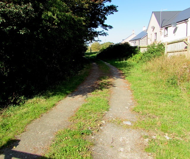
Image: © Jaggery Taken: 19 Sep 2019
Viewed from the wooden gate here https://www.geograph.org.uk/photo/6272034 in September 2019. Recently-built houses in the cul-de-sac named The Old Station are on the right.
Images are licensed for reuse under creativecommons.org/licenses/by-sa/2.0
Image Location
Latitude
51.397441
Longitude
-3.414951