Footpath to Kingswear
Introduction
The photograph on this page of Footpath to Kingswear by Derek Harper as part of the Geograph project.
The Geograph project started in 2005 with the aim of publishing, organising and preserving representative images for every square kilometre of Great Britain, Ireland and the Isle of Man.

There are currently over 7.5m images from over 14,400 individuals and you can help contribute to the project by visiting https://www.geograph.org.uk
Footpath to Kingswear
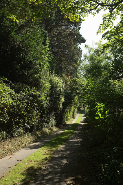
Image: © Derek Harper Taken: 17 Sep 2019
Kingswear footpath 30 continues the line of the road shown in Image], seen here from the point where the Dart Valley Trail leaves it, dropping steeply through a wood on the right.
Images are licensed for reuse under creativecommons.org/licenses/by-sa/2.0
Image Location
Latitude
50.361046
Longitude
-3.572433