Gileston Road bus stop and shelter, St Athan
Introduction
The photograph on this page of Gileston Road bus stop and shelter, St Athan by Jaggery as part of the Geograph project.
The Geograph project started in 2005 with the aim of publishing, organising and preserving representative images for every square kilometre of Great Britain, Ireland and the Isle of Man.

There are currently over 7.5m images from over 14,400 individuals and you can help contribute to the project by visiting https://www.geograph.org.uk
Gileston Road bus stop and shelter, St Athan
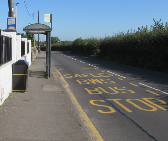
Image: © Jaggery Taken: 19 Sep 2019
Located near the Co-op and Chapel Close, this is a stop on bus route 303 from Barry to Bridgend. In September 2019 route 303 is operated by NAT Group.
Images are licensed for reuse under creativecommons.org/licenses/by-sa/2.0
Image Location
Latitude
51.399614
Longitude
-3.413724