Loudwater Lane
Introduction
The photograph on this page of Loudwater Lane by Marathon as part of the Geograph project.
The Geograph project started in 2005 with the aim of publishing, organising and preserving representative images for every square kilometre of Great Britain, Ireland and the Isle of Man.

There are currently over 7.5m images from over 14,400 individuals and you can help contribute to the project by visiting https://www.geograph.org.uk
Loudwater Lane
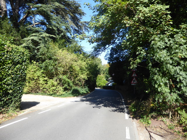
Image: © Marathon Taken: 18 Sep 2019
The River Chess splits into two branches ahead and the bridge over the southernmost of the two is before the white house.
Images are licensed for reuse under creativecommons.org/licenses/by-sa/2.0
Image Location
Latitude
51.653736
Longitude
-0.478395