Lane through Tod Moor
Introduction
The photograph on this page of Lane through Tod Moor by Derek Harper as part of the Geograph project.
The Geograph project started in 2005 with the aim of publishing, organising and preserving representative images for every square kilometre of Great Britain, Ireland and the Isle of Man.

There are currently over 7.5m images from over 14,400 individuals and you can help contribute to the project by visiting https://www.geograph.org.uk
Lane through Tod Moor
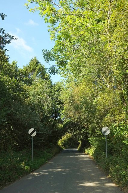
Image: © Derek Harper Taken: 19 Sep 2019
A reverse view of Image, with the lane leaving Westlake and crossing the access land of Tod Moor.
Images are licensed for reuse under creativecommons.org/licenses/by-sa/2.0
Image Location


Leaflet Map data © OpenStreetMap
Latitude
50.369121
Longitude
-3.937192