B1426 Gateshead
Introduction
The photograph on this page of B1426 Gateshead by Robin Webster as part of the Geograph project.
The Geograph project started in 2005 with the aim of publishing, organising and preserving representative images for every square kilometre of Great Britain, Ireland and the Isle of Man.

There are currently over 7.5m images from over 14,400 individuals and you can help contribute to the project by visiting https://www.geograph.org.uk
B1426 Gateshead
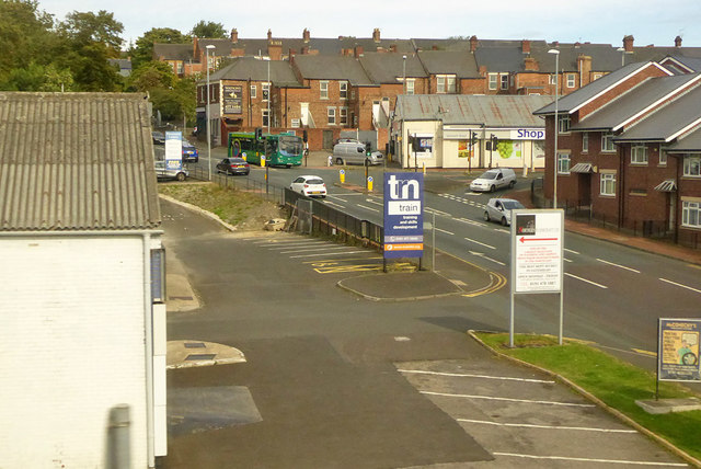
Image: © Robin Webster Taken: 14 Sep 2019
Lobley Hill Road from the right, changing to Bensham Road further along. The road has signs showing B1426, but B601, an earlier number, persists on some maps and other references.
Images are licensed for reuse under creativecommons.org/licenses/by-sa/2.0
Image Location
Latitude
54.950878
Longitude
-1.617446