Path by Morrisons
Introduction
The photograph on this page of Path by Morrisons by Steve Barnes as part of the Geograph project.
The Geograph project started in 2005 with the aim of publishing, organising and preserving representative images for every square kilometre of Great Britain, Ireland and the Isle of Man.

There are currently over 7.5m images from over 14,400 individuals and you can help contribute to the project by visiting https://www.geograph.org.uk
Path by Morrisons
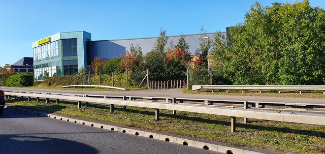
Image: © Steve Barnes Taken: 19 Sep 2019
In Newport off of the A48 and they definitely don't want any cards down there!
Images are licensed for reuse under creativecommons.org/licenses/by-sa/2.0
Image Location
Latitude
51.576082
Longitude
-2.966208