The Way to Slimbridge
Introduction
The photograph on this page of The Way to Slimbridge by David Dixon as part of the Geograph project.
The Geograph project started in 2005 with the aim of publishing, organising and preserving representative images for every square kilometre of Great Britain, Ireland and the Isle of Man.

There are currently over 7.5m images from over 14,400 individuals and you can help contribute to the project by visiting https://www.geograph.org.uk
The Way to Slimbridge
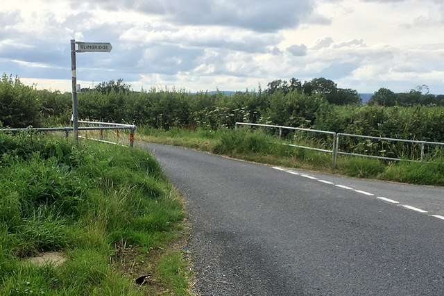
Image: © David Dixon Taken: 27 Jul 2019
Signpost at the junction of Tyndale Road with Moorend Road pointing to the latter as the route towards Slimbridge. The railings ahead are where Tyndale Road crosses a drainage ditch.
Images are licensed for reuse under creativecommons.org/licenses/by-sa/2.0
Image Location
Latitude
51.720651
Longitude
-2.394284