Cwm-tywarch
Introduction
The photograph on this page of Cwm-tywarch by Alan Richards as part of the Geograph project.
The Geograph project started in 2005 with the aim of publishing, organising and preserving representative images for every square kilometre of Great Britain, Ireland and the Isle of Man.

There are currently over 7.5m images from over 14,400 individuals and you can help contribute to the project by visiting https://www.geograph.org.uk
Cwm-tywarch
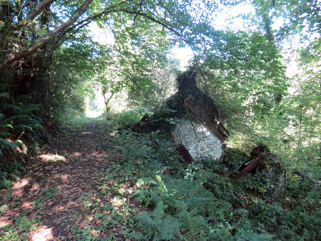
Image: © Alan Richards Taken: 18 Sep 2019
Llwybr ceffyl yn mynd hebio i adfeilion anhedd-dy o'r enw Cwm-tywarch < tywarchen. A bridleway passing a ruined property known as Cwm-tywarch < tywarchen (trans. clod [river] valley).
Images are licensed for reuse under creativecommons.org/licenses/by-sa/2.0
Image Location
Latitude
52.068242
Longitude
-4.370862