View along Black House Lane
Introduction
The photograph on this page of View along Black House Lane by Robert Graham as part of the Geograph project.
The Geograph project started in 2005 with the aim of publishing, organising and preserving representative images for every square kilometre of Great Britain, Ireland and the Isle of Man.

There are currently over 7.5m images from over 14,400 individuals and you can help contribute to the project by visiting https://www.geograph.org.uk
View along Black House Lane
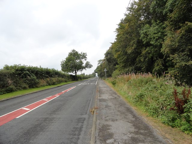
Image: © Robert Graham Taken: 9 Sep 2019
Looking west along a long straight stretch of country road, just past the junction with Beechgrove Lane.
Images are licensed for reuse under creativecommons.org/licenses/by-sa/2.0
Image Location
Latitude
54.842307
Longitude
-1.642142