Mixed farming at Mains of Usan
Introduction
The photograph on this page of Mixed farming at Mains of Usan by Andrew Diack as part of the Geograph project.
The Geograph project started in 2005 with the aim of publishing, organising and preserving representative images for every square kilometre of Great Britain, Ireland and the Isle of Man.

There are currently over 7.5m images from over 14,400 individuals and you can help contribute to the project by visiting https://www.geograph.org.uk
Mixed farming at Mains of Usan
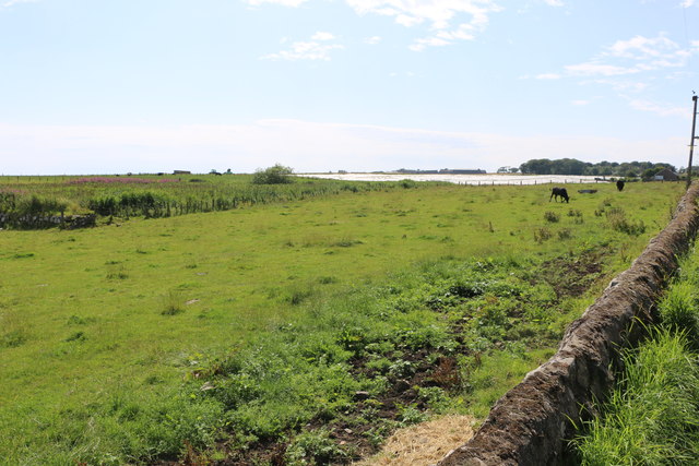
Image: © Andrew Diack Taken: 30 Jul 2019
In the foreground, this photo shows livestock farming based on permanent pasture while in the distance arable crops under polythene are evident.
Images are licensed for reuse under creativecommons.org/licenses/by-sa/2.0
Image Location
Latitude
56.690697
Longitude
-2.447798