Former railway bridge at Scholes
Introduction
The photograph on this page of Former railway bridge at Scholes by Stephen Craven as part of the Geograph project.
The Geograph project started in 2005 with the aim of publishing, organising and preserving representative images for every square kilometre of Great Britain, Ireland and the Isle of Man.

There are currently over 7.5m images from over 14,400 individuals and you can help contribute to the project by visiting https://www.geograph.org.uk
Former railway bridge at Scholes
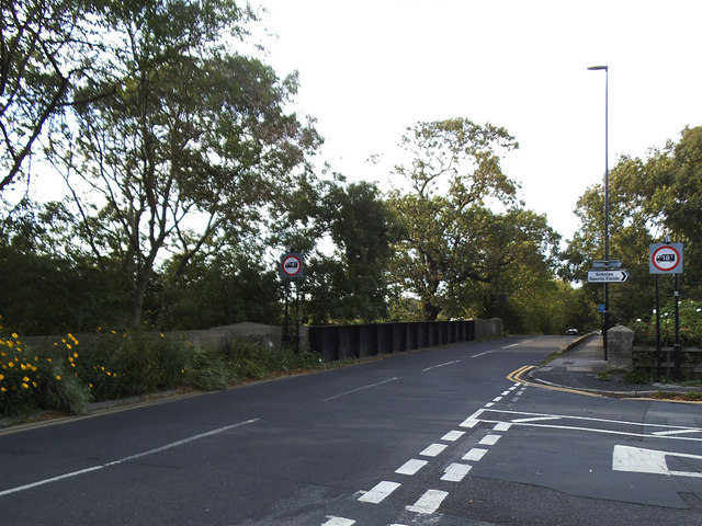
Image: © Stephen Craven Taken: 14 Sep 2019
The skew bridge carried Station Road over the Cross Gates to Wetherby railway line.
Images are licensed for reuse under creativecommons.org/licenses/by-sa/2.0
Image Location
Latitude
53.830071
Longitude
-1.430665