Access road from Simpson Park
Introduction
The photograph on this page of Access road from Simpson Park by Bill Boaden as part of the Geograph project.
The Geograph project started in 2005 with the aim of publishing, organising and preserving representative images for every square kilometre of Great Britain, Ireland and the Isle of Man.

There are currently over 7.5m images from over 14,400 individuals and you can help contribute to the project by visiting https://www.geograph.org.uk
Access road from Simpson Park
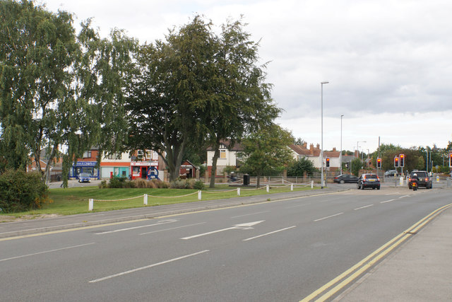
Image: © Bill Boaden Taken: 7 Sep 2019
This was a former colliery access road, but now services the new housing development as well as the Asda supermarket. There are a couple of shops on Scrooby Road in view as well as a small replica colliery winding wheel on the grass opposite.
Images are licensed for reuse under creativecommons.org/licenses/by-sa/2.0
Image Location
Latitude
53.416323
Longitude
-1.058702