George Street, Coupar Angus
Introduction
The photograph on this page of George Street, Coupar Angus by Richard Webb as part of the Geograph project.
The Geograph project started in 2005 with the aim of publishing, organising and preserving representative images for every square kilometre of Great Britain, Ireland and the Isle of Man.

There are currently over 7.5m images from over 14,400 individuals and you can help contribute to the project by visiting https://www.geograph.org.uk
George Street, Coupar Angus
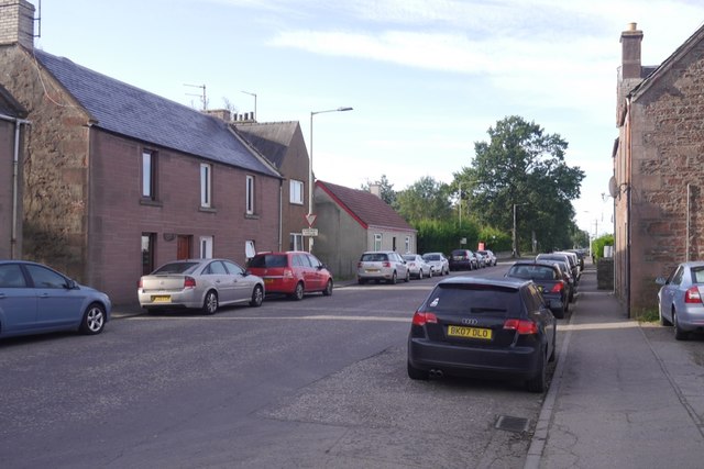
Image: © Richard Webb Taken: 13 Sep 2019
Once the A94, that road now runs along the trackbed of the Caledonian Railway.
Images are licensed for reuse under creativecommons.org/licenses/by-sa/2.0
Image Location
Latitude
56.543595
Longitude
-3.271254