Slag beside drain
Introduction
The photograph on this page of Slag beside drain by Andrew Curtis as part of the Geograph project.
The Geograph project started in 2005 with the aim of publishing, organising and preserving representative images for every square kilometre of Great Britain, Ireland and the Isle of Man.

There are currently over 7.5m images from over 14,400 individuals and you can help contribute to the project by visiting https://www.geograph.org.uk
Slag beside drain
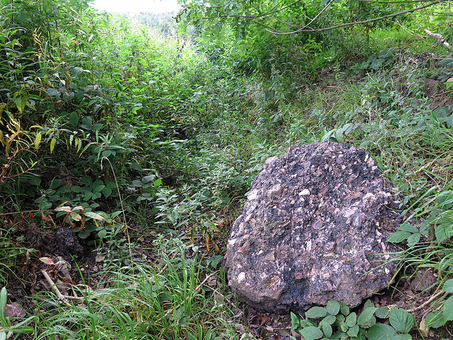
Image: © Andrew Curtis Taken: 12 Sep 2019
A large boulder of consolidated ash and slag from previous industrial use of this area, possibly a large array of coke beehive ovens using coal from West Wylam Colliery. The drain leads water to the north of the main road although drainage of the whole area has been altered several times by the huge changes in local industrial land-use.
Images are licensed for reuse under creativecommons.org/licenses/by-sa/2.0
Image Location


Leaflet Map data © OpenStreetMap
Latitude
54.968261
Longitude
-1.835336