Building site at James Watt Dock
Introduction
The photograph on this page of Building site at James Watt Dock by Thomas Nugent as part of the Geograph project.
The Geograph project started in 2005 with the aim of publishing, organising and preserving representative images for every square kilometre of Great Britain, Ireland and the Isle of Man.

There are currently over 7.5m images from over 14,400 individuals and you can help contribute to the project by visiting https://www.geograph.org.uk
Building site at James Watt Dock
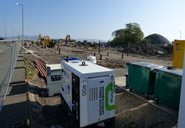
Image: © Thomas Nugent Taken: 22 Apr 2019
A new housing development on former industrial/dockland land on the east side of Douglas Rae Road.
Images are licensed for reuse under creativecommons.org/licenses/by-sa/2.0
Image Location
Latitude
55.942403
Longitude
-4.722955