Road south of Meams
Introduction
The photograph on this page of Road south of Meams by Alan O'Dowd as part of the Geograph project.
The Geograph project started in 2005 with the aim of publishing, organising and preserving representative images for every square kilometre of Great Britain, Ireland and the Isle of Man.

There are currently over 7.5m images from over 14,400 individuals and you can help contribute to the project by visiting https://www.geograph.org.uk
Road south of Meams
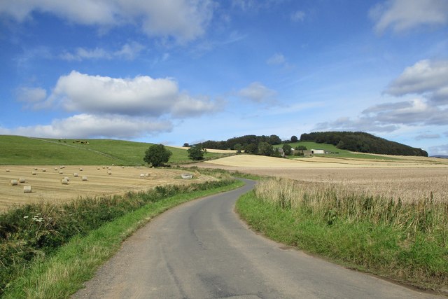
Image: © Alan O'Dowd Taken: 7 Sep 2019
The tiny building in the field on the left houses Abernethan Well, which apparently once supplied the nearby mansion house of Kinnordy with water.
Images are licensed for reuse under creativecommons.org/licenses/by-sa/2.0
Image Location
Latitude
56.694119
Longitude
-3.034988