St.Mary's church
Introduction
The photograph on this page of St.Mary's church by Richard Croft as part of the Geograph project.
The Geograph project started in 2005 with the aim of publishing, organising and preserving representative images for every square kilometre of Great Britain, Ireland and the Isle of Man.

There are currently over 7.5m images from over 14,400 individuals and you can help contribute to the project by visiting https://www.geograph.org.uk
St.Mary's church
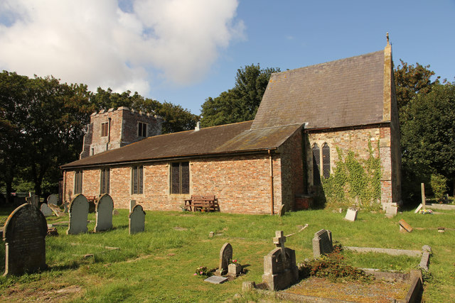
Image: © Richard Croft Taken: 7 Sep 2019
Grade II listed church with 13th century origins, but hideously rebuilt in 18th & 19th century restorations and again 1976-80 by G.R.A.Mack of Louth. Interestingly depicted on 1:25000 OS maps as without a tower.
Images are licensed for reuse under creativecommons.org/licenses/by-sa/2.0
Image Location
Latitude
53.336477
Longitude
0.248008