Elevated road name
Introduction
The photograph on this page of Elevated road name by Bob Harvey as part of the Geograph project.
The Geograph project started in 2005 with the aim of publishing, organising and preserving representative images for every square kilometre of Great Britain, Ireland and the Isle of Man.

There are currently over 7.5m images from over 14,400 individuals and you can help contribute to the project by visiting https://www.geograph.org.uk
Elevated road name
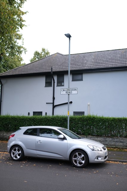
Image: © Bob Harvey Taken: 10 Sep 2019
The road names on this estate are mounted high on lampposts. This one is for Callingdon Street. The house behind is recently modernised, with a painted rendered surface that was once brick.
Images are licensed for reuse under creativecommons.org/licenses/by-sa/2.0
Image Location
Latitude
53.426216
Longitude
-2.261062