A path from Faskin Road
Introduction
The photograph on this page of A path from Faskin Road by Lairich Rig as part of the Geograph project.
The Geograph project started in 2005 with the aim of publishing, organising and preserving representative images for every square kilometre of Great Britain, Ireland and the Isle of Man.

There are currently over 7.5m images from over 14,400 individuals and you can help contribute to the project by visiting https://www.geograph.org.uk
A path from Faskin Road
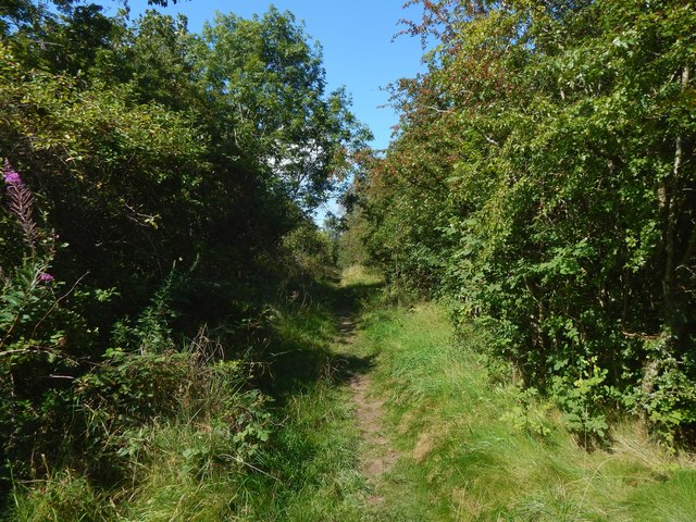
Image: © Lairich Rig Taken: 26 Aug 2019
The path, about 150 metres long, heads northwest from where Faskin Road makes a sharp turn. To the right of the path is woodland. On the left, a line of trees separates this path from the grassy space shown in Image Behind the photographer is Image
Images are licensed for reuse under creativecommons.org/licenses/by-sa/2.0
Image Location
Latitude
55.821671
Longitude
-4.372362