Path on Hurlet Hill
Introduction
The photograph on this page of Path on Hurlet Hill by Lairich Rig as part of the Geograph project.
The Geograph project started in 2005 with the aim of publishing, organising and preserving representative images for every square kilometre of Great Britain, Ireland and the Isle of Man.

There are currently over 7.5m images from over 14,400 individuals and you can help contribute to the project by visiting https://www.geograph.org.uk
Path on Hurlet Hill
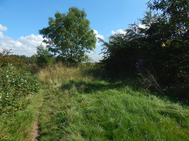
Image: © Lairich Rig Taken: 26 Aug 2019
The view is from about 100 metres further along the path shown in Image There is a trig point on the right, though it is hard to see in the shade: Image It was still decorated in the manner shown in an another contributor's earlier picture: Image
Images are licensed for reuse under creativecommons.org/licenses/by-sa/2.0
Image Location
Latitude
55.821285
Longitude
-4.373776