Footpath at Colsterworth
Introduction
The photograph on this page of Footpath at Colsterworth by Marathon as part of the Geograph project.
The Geograph project started in 2005 with the aim of publishing, organising and preserving representative images for every square kilometre of Great Britain, Ireland and the Isle of Man.

There are currently over 7.5m images from over 14,400 individuals and you can help contribute to the project by visiting https://www.geograph.org.uk
Footpath at Colsterworth
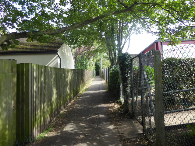
Image: © Marathon Taken: 7 Sep 2019
This footpath leads from Back Lane through the estate at Colster Way before reaching the A1. It used to continue all the way to Burton-le-Coggles as Colterworth Lane and that is still how it is shown on Ordnance Survey Maps but you would take your life in your hands trying to cross the A1 there now. This is the view from Back Lane with the school on the right.
Images are licensed for reuse under creativecommons.org/licenses/by-sa/2.0
Image Location
Latitude
52.806584
Longitude
-0.618415